The total stats for my hike were:
11.7 miles
1,750 Feet of climbing
11.7 miles
1,750 Feet of climbing
Folsom Lake Trail- Stirling Point to Granite Bay 1-17-12
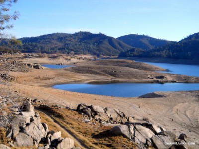
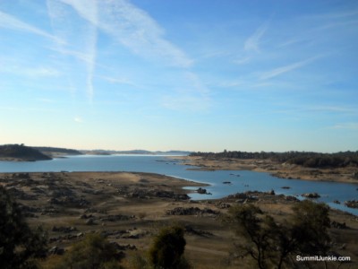

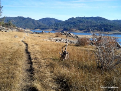
With an unexpected day off work, I quickly grabbed my pack and headed back to Stirling Point to complete another section of my Folsom Lake Circumnavigation. Today I planned to hike from Stirling Point to Granite Bay, a 5.5 mile section. I reached the empty parking lot at the Stirling Point area around 8:30 and started my hike in the subfreezing air. The Western States Trail heads south through dense woods with rare views of the lake. This trail is actually pretty boring, but would provide good shade in the summer heat. The poor signing continues here, and a few confusing side trails try to get you off course. I reached Granite Bay and took the Doton's Cove Trail for a nice little loop at the end.
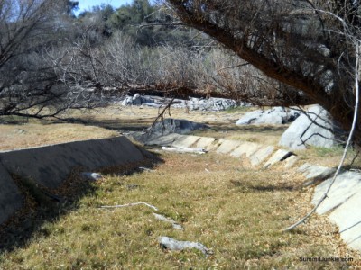
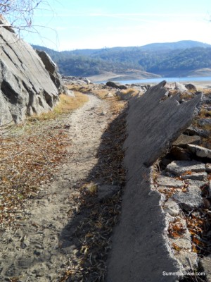
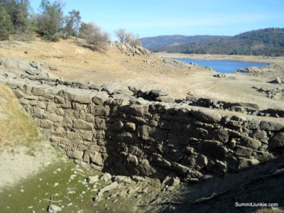
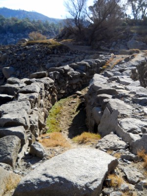
On the return trip I dropped off the main trail and took a use trail that follows the shoreline below the high water line. This trail is used heavily by horses, and is quite sandy making for poor footing, but the scenery makes it well worth the extra effort. It follows an old Gold Rush era canal system along the bank and passes an interesting old dam along the way. I was surprised by the amount of driftwood in some of the inlets, there appeared to be tons of it!!