
PCT Ramble from Carson Pass
6-15-12
6-15-12
Peaks Climbed On This Trip:
Little Round Top 9590 ft
Little Round Top 9590 ft
My initial plan had been to climb Mount Freel, but finding the forest service road completely impassable I decided to head up to Carson Pass to do a bit of exploring. I had hiked from the actual pass a couple of times, most recently to climb Elephants Back, but I had never explored the northern side of the pass. The Pacific Crest Trail crosses Hwy 88 here at Carson Pass, so I decided to do a bit of walking on that storied trail from the Meiss Trailhead.

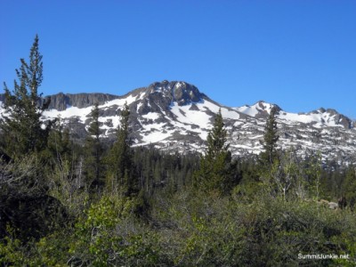
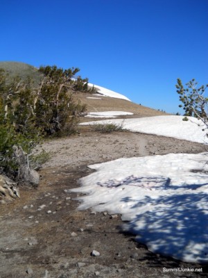
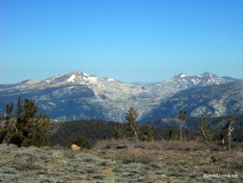
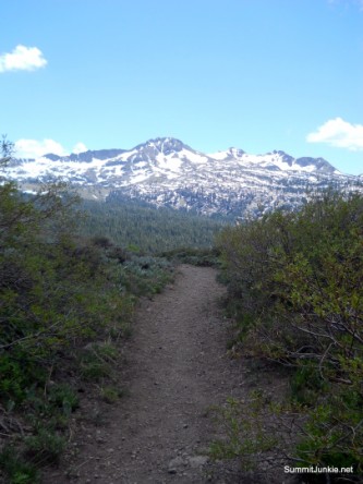
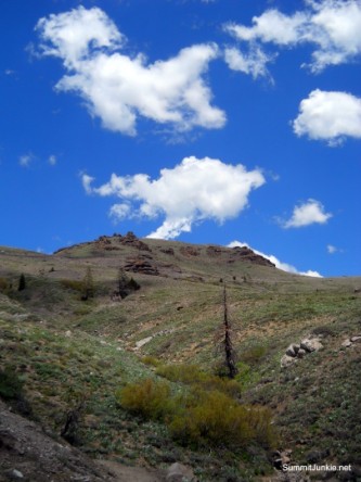
Starting up the trail you are treated to great views of Round Top, the surrounding range and Caples Lake. The trail is sandy but pleasant.
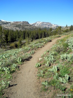

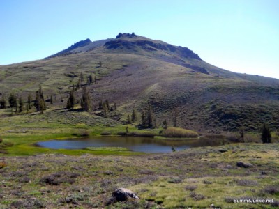
After about a mile you crest a saddle and come to a little lake. You have an option at this point: a right turn takes you cross country to Red Lake Peak, straight ahead continues on the PCT towards Showers Lake and Echo Summit, or a left turn to the ridge leading to Little Round Top. I decided to make the left turn.

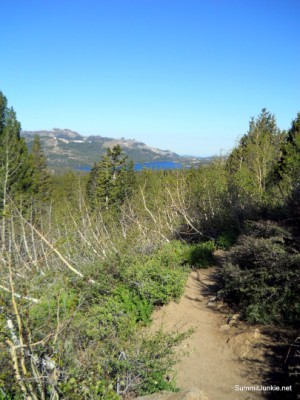
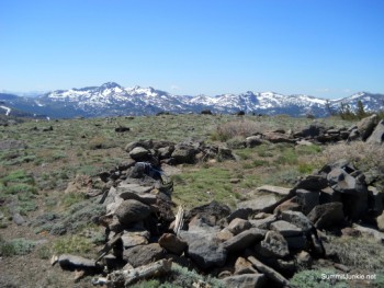
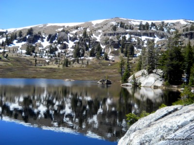
As you climb towards the obvious highpoint directly ahead of you, enjoy the views of Caples Lake and Lake Tahoe. They only get better from here.

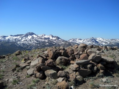
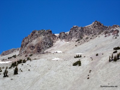
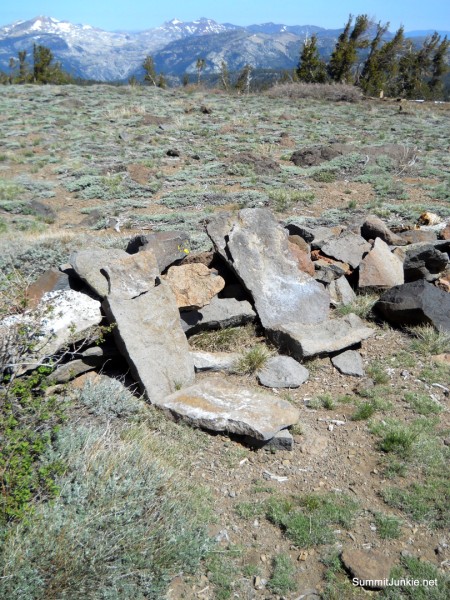
As you reach the southern most highpoint on the ridge leading to Little Round Top, the view is amazing. There is a small rock tarn that marks the top. This is perhaps the best view you will enjoy all day.

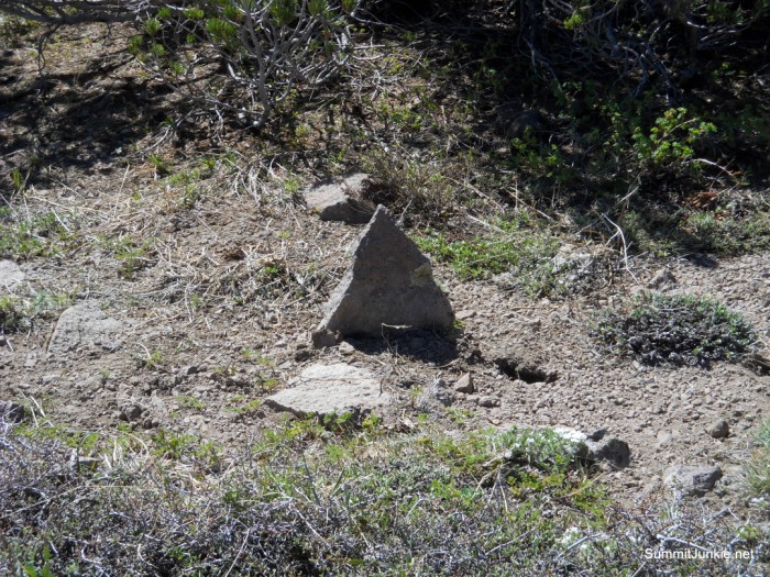
There is a faint use trail along the ridge to Little Round Top. You will crest another highpoint on this ridge, marked on the map as 9422'

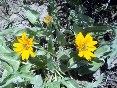
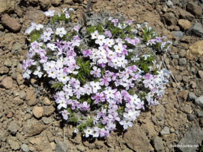
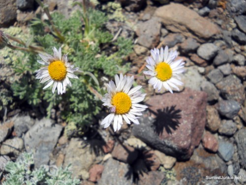
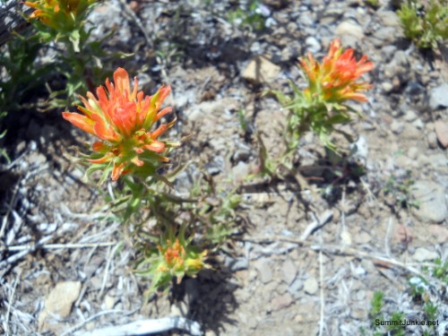
Although still a bit early in the season, there were some wildflowers to be seen on the trail.
Mountain Mule Ear
Buttercup

LAND SHARK!!
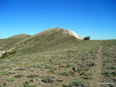
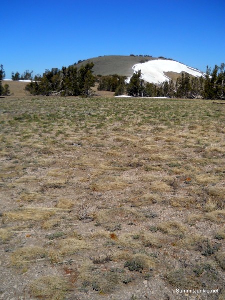
Little Round Top
Paintbrush
Sierra Daisey

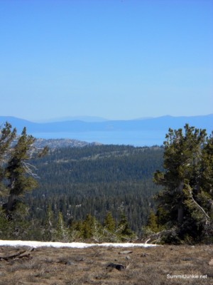
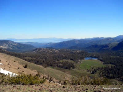
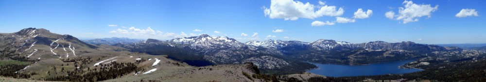
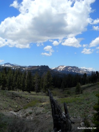
When you reach the summit of Little Round Top you are treated to views of the Lake Tahoe Basin, Freel Peak, and the Carson Pass area.
There is a large rock tarn on top of the peak.

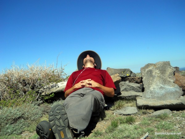
There are a couple of amazing rock lounge chairs on the summit. The weather was perfect, the views were great and the seats were comfortable. Complete bliss..

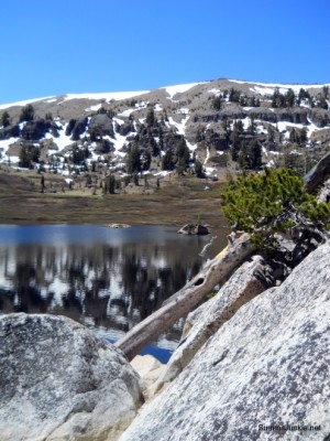
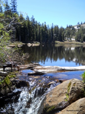
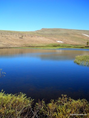
After a nice lunch on top, I dropped down to Showers Lake by scree surfing down the steep slope. The lake was nice and the PCT passes right by it, but there are a LOT of mosquitos..

The walk out from Showers Lake was about 5 miles. I left the PCT shortly after the lake and climbed back up to the ridge and tagged Point 9422' again then followed the ridge to the southern highpoint and tagged that one again also. Some fluffy clouds rolled in and gave me a bit of shade. I will be returning again soon to tag some other peaks in this area, and I want to do some more exploring in the valley around Showers Lake.
The total stats for my day of hiking were:
13 miles
2,800 feet of climbing
13 miles
2,800 feet of climbing