

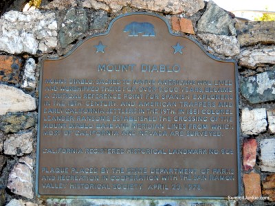
Mount Diablo Double Summit 2-2-12
The total stats for my day of hiking were:
17 miles
5,000 feet of climbing
17 miles
5,000 feet of climbing
Peaks Climbed On This Trip:
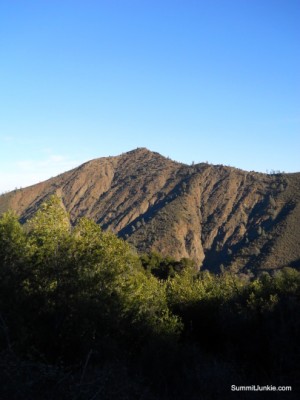
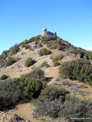
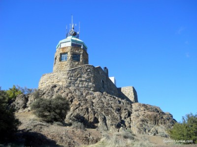
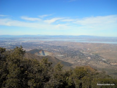
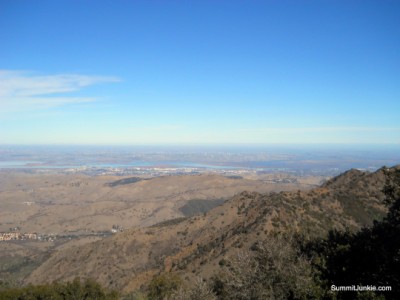
Mount Diablo 3849 ft
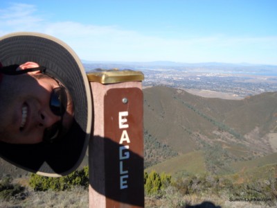
Eagle Peak 2369 ft
Mount Diablo 3849 ft
Eagle Peak 2369 ft
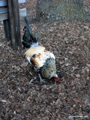

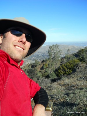
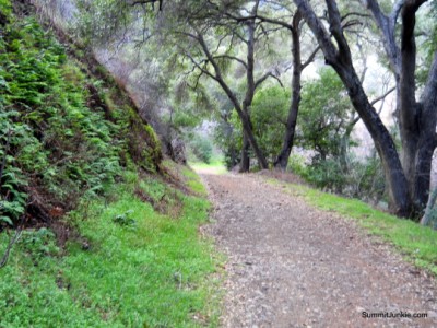
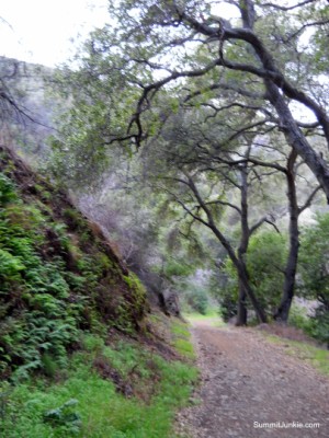
It had been just over 4 months since my last summit, I was feeling the urge.. I decided to do one of the classic training climbs in the Bay Area, the 4 Summits Loop in Mount Diablo SP. The Mitchell Canyon trail head opens at 8am, so I left Folsom at 5:30 and arrived at the trail head just after 8. There was a very brave roster at the trail head, he annoyed me greatly and enjoyed pecking at my gear and feet..
I made the same mistake as my last trip to this area and followed the (incorrect) trail map towards Mitchell Rock Trail. Do not take the Mitchell Canyon Road. The Mitchell Rock Trail can be found behind the interpretive center. This takes you to the saddle between Eagle Peak and the Mount Diablo Trail. You have to backtrack almost a mile and 800 vertical feet to tag Eagle Peak.
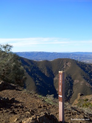
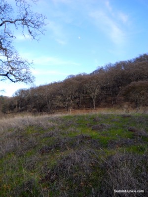
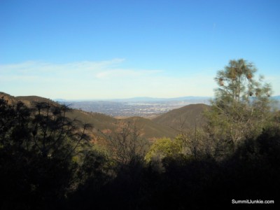
After leaving the summit of Eagle Peak, I climbed the ridge back to Murchio Gap. I then followed the Bald Ridge Trail to Prospectors Gap. I then turned right on the North Peak Trail towards the summit.
There are a number of side trails heading towards Devils Pulpit. These trails provide some nice scrambling and nothing else, stay on the main trail.
My day was cut short by a stomach flu that hit me on the summit of Diablo. I followed the Diablo Summit Trail down, then met back up with the Canyon Drive