Malakoff Diggins State Historic Park 1-13-12
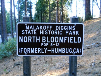
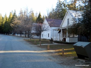
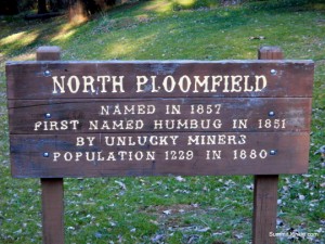
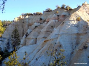
Malakoff Diggins State Historic Park is the site of what was once the worlds largest hydraulic gold mine. Bordered by colorful cliffs, the Malakoff mine pit is more than a mile long, a half mile wide and nearly 600 feet deep. In the right light, it resembles a miniature Bryce Canyon. The park is pretty much closed down during the winter, but the $8 entrance fee still applies. You park in Historic Downtown North Bloomfield, a collection of old gold rush buildings. There is a museum with reduced winter hours, an old schoolhouse, a church with historic cemetery attached, lots of period mining equipment, and numerous building in various states of disrepair.
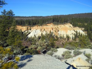
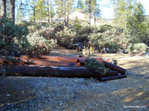
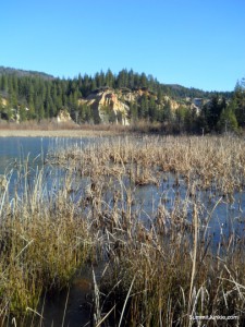
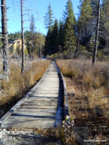
I started my hike on the Diggins Loop Trail. The trial makes a full loop inside the canyon formed by the mining operations. The trail roughly follows the edge of the canyon, passing some of the more impressive and colorful canyon walls. There is old rusty equipment strewn about along the trail. Diggins Lake is a cool feature at the east end of the canyon that features a nice footbridge over the far end of the lake. The trail then begins to backtrack back towards the town. There is a short spur trail to the Hiller Tunnel, a pretty amazing spot! This tunnel was built to
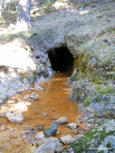
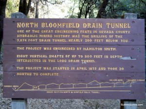
drain the water from the valley after it was used to errode the hillsides. It was almost 8000 feet long originally, and was an amazing feat of engineering. The section that is still open is over 600 feet long and can be walked through with a flashlight and water shoes.
The total stats for my hike were:
11.25 miles
2,113 Feet of climbing
11.25 miles
2,113 Feet of climbing