HIDDEN FALLS LOOP HIKE
1/5/12
1/5/12

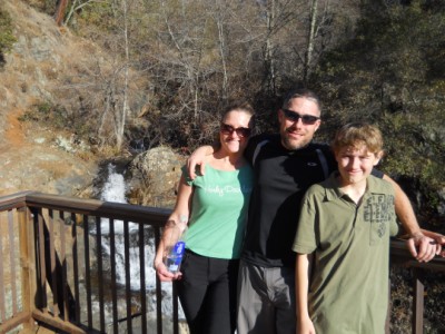
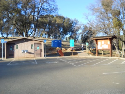
Wanting to explore some local areas while we wait for the snow to fly, I talked Jen and Zach into going on a quick afternoon hike at Hidden Falls Regional Park. Hidden Falls park is a fairly recent addition to our local hiking scene, opening in October of 2006. We arrived at the parking area and found it well signed and in great condition. Both of the restroom's were closed, but porta-potties were provided as an alternative.
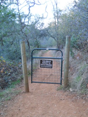
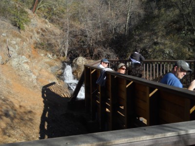
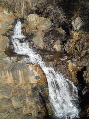
We started down the main road/trail and followed it to a bridge crossing the stream that eventually becomes Hidden Falls. The trail forks left at this point and follows the stream for a couple hundred yards before you reach a gate warning you that you are entering open grazing land. Shortly after the trail forks again and heads left to the falls overlook. The overlook is well constructed and comfortably accommodates over a dozen people. We found about 8 people on the deck when we got there. The deck gives you a view from above the falls, and you have to lean over the rail to see the whole falls. This is a bit of poor planning or perhaps necessary due to the surroundings. There is a use trail just past the deck that leads to a nice spot below the falls that affords a better view, but be careful it is a bit steep and slippery.
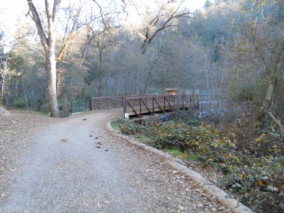
We backtracked to the bridge and finished the loop by taking the Poppy Trail back to the parking lot. This trail starts just over the bridge on the right side, and I highly reccomend it as an alternative to the main road.
The total stats for our hike were:
3.2 miles
610 Feet of climbing
3.2 miles
610 Feet of climbing