Folsom Lake Trail 1-15-12
The total stats for our hike were:
13.5 miles
2,150 Feet of climbing
13.5 miles
2,150 Feet of climbing
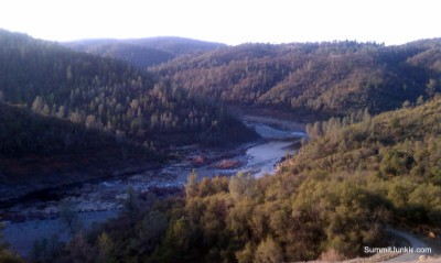
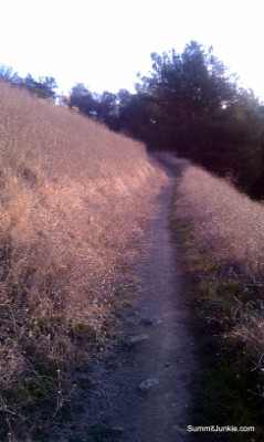
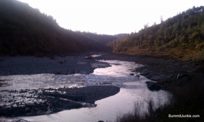
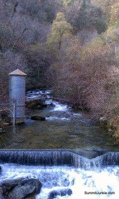
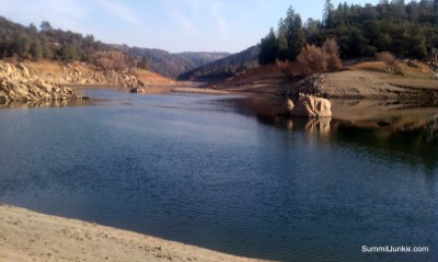
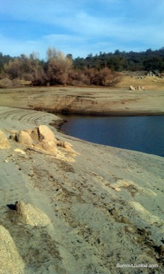
My last day of vacation was here, and I had a willing participant for a hike. I had read about a great hike in the Rattlesnake Bar area, but that part of the lake was closed for the winter. I did a bit of research and found an area of Folsom Lake I had never explored. We parked at the end of Maidu Dr in Auburn, there is plenty of parking available at the park entrance. We walked about 2 miles down to the trail head, following the main road. Once on the Western States Trail, we headed downstream and enjoyed some nice views of this inlet of Folsom Lake. We followed the trail for about 5 miles, reaching an operating PGE hydro plant and a nice beach to have lunch. We turned around and headed home, enjoying the perfect weather and great trail.